-
Member Login
- Home
- About
- Institute Groups
- Membership
- Events
- News & Publications
- Institute Programs
- Resources
- Jobs Board
- Contact Us
- Site Info
Webinar 3 in the drone series | NatureScan: Drone remote sensing for comprehensive biodiversity monitoring
About the Webinar
Discover how cutting-edge drone technology is transforming the way Australia monitors and restores ecosystems.
NatureScan is pioneering a new era of biodiversity monitoring by combining consumer-grade drones, advanced remote sensing analysis, and deep field ecology expertise. Supported by the Australian Government’s Department of Climate Change, Energy, the Environment and Water (DCCEEW), this initiative is building innovative, scientifically robust techniques designed for the emerging Nature Repair Market and putting powerful monitoring tools directly into the hands of land managers.
In this must-attend webinar, you’ll gain practical insight into how drone data collection and processing choices directly impact the quality and reliability of ecosystem monitoring. Learn how analysis-ready products, including RGB and multispectral orthomosaics and Structure-from-Motion 3D point clouds, can reveal critical biodiversity metrics such as canopy cover, vegetation health, growth form, and structural variability.
We’ll walk through the latest methodological advances, including:
- Optimising sensor alignment for accurate results
- Selecting the right orthorectification surfaces
- Producing spatially precise, analysis-ready datasets
- Validating remote sensing outputs with ecological field data
You’ll be provided with an insight on how NatureScan is establishing clear, accessible standards for drone data collection and processing which deliver consistent, repeatable, and ecologically meaningful monitoring at scale. A must for those who work in land management, ecology and environmental consultants.
Meet the Speaker
Alice is a spatial scientist with a passion for the application of remote sensing for environmental monitoring, land management and conservation. She is experienced in leveraging drone data, including LiDAR, RGB and multispectral imagery, and integrating this with ecological knowledge to develop methods for ecosystem monitoring and biodiversity modelling. Since 2024, she has been working on the NatureScan project, which aims to advance the use of consumer-grade drones for land management and monitoring biodiversity.
Not an EIANZ member?
Consider joining as a student, associate or full member today! To receive the member rate to the webinar make sure you apply for membership prior to registering. Join here →
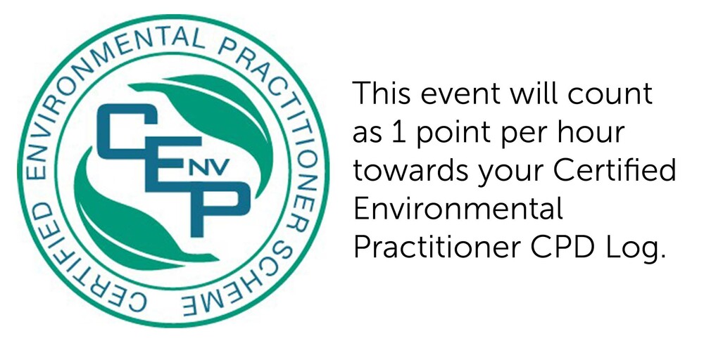
CPD Points
Event details
When:
24 March 2026
1:00 PM
- 2:00 PM
Where: Webinar
Cost: $10 EIANZ members, $5 EIANZ student members, $25 non-members (AUD)
Contact: Registration and event enquiries to events@eianz.org or via phone on AU +61 3 8593 4142 | NZ +64 9887 6972
Register now and secure your attendance
Event date has passed
We acknowledge and value the rights and interests of Indigenous Peoples in the protection and management of environmental values through their involvement in decisions and processes, and the application of traditional Indigenous knowledge.