-
Member Login
- Home
- About
- Institute Groups
- Membership
- Events
- News & Publications
- Institute Programs
- Resources
- Jobs Board
- Contact Us
- Site Info

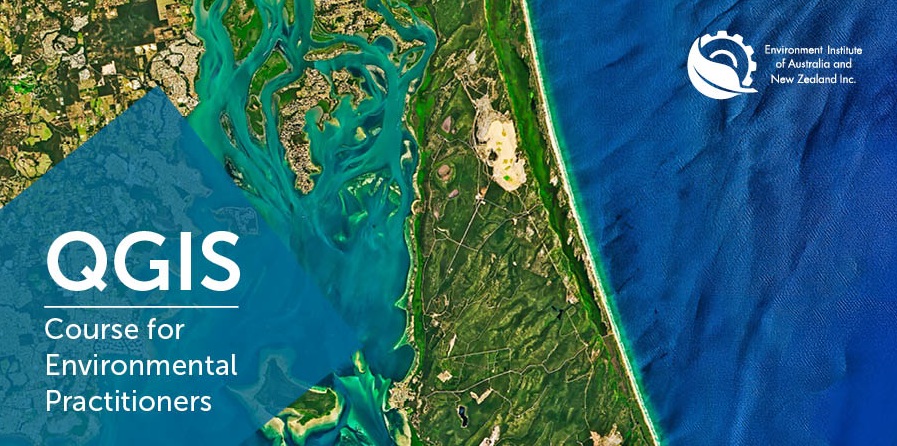
QGIS for Environmental Practitioners | Short Course 3
This course is now booked out. If you would like to go on the waiting list please email us at office@eianz.org
Understanding the complex interactions within environmental systems is crucial for effective management, and Geographic Information Systems (GIS) provide a powerful toolkit for this purpose. QGIS, a widely used open-source GIS software, is highly valued across diverse industries and is indispensable in the environmental sciences for managing our natural environments. Recognising the difficulties in developing QGIS skills outside formal education, this popular short course, back for its second iteration this year, is designed to equip environmental practitioners with the expertise needed to efficiently use QGIS in their day-to-day operations.
Why Attend?
This course aims to equip participants with practical skills in QGIS, focusing on the use of open-source software to address spatial tasks in environmental management. It seeks to help professionals build foundational QGIS knowledge to leverage this powerful software more effectively in their work.
This short course is designed for participants at a basic to intermediate level. Participants should have a basic understanding of GIS terminology (such as vectors, polygons, and raster data) and have QGIS software installed prior to the first session. Complete beginners will be asked to complete additional training resources online to familiarise with the software’s interface and core functions prior to starting this short course.
What to Expect
This course will run for 4 sessions over 4 days, for 3 hours each day. These are interactive learning sessions that go beyond traditional webinars, featuring a mix of presentations, hands-on exercises, and group discussions. Skills are developed through both guided in-session exercises and independent practice between sessions, with each session beginning with a review period to address questions and refine approaches.
Session Details
This workshop will run on the following days. Session times in Australian Eastern Standard Time (AEST).
| Date | Time |
| 6 July 2026 | 11:00am - 2:00pm |
| 8 July 2026 | 11:00am - 2:00pm |
| 13 July 2026 | 11:00am - 2:00pm |
| 15 July 2026 | 11:00am - 2:00pm |
Meet the Facilitator: Hoang Long Nguyen
Hoang Long Nguyen is a researcher at the Centre for Water and Spatial Science, University of Western Australia (UWA). Having studied, taught, and conducted research at UWA for the past six years, he recently completed his PhD in environmental engineering. Originally trained in Civil Engineering, specialising in Water, at Hanoi Architectural University, Vietnam, his expertise spans hydraulics, hydrology, satellite remote sensing, geographic information systems (GIS), and spatial analysis. His research focuses on understanding water-environment interactions and applying spatial technologies to support sustainable environmental management.
Who Should Attend?
This QGIS short course is tailored for environmental practitioners who are eager to expand their capabilities in QGIS. If you're looking to optimise your workflow and achieve better outcomes, this course will provide the practical skills and knowledge you need.
Registrations are now open!
Places are strictly limited to 15 participants. Register to secure your spot today!
Registration rates
| EIANZ member | $750 |
| Non-members | $950 |
*This is an all inclusive price charged in AUD including GST.
Not an EIANZ member?
To receive the member rate for the course, consider joining as an associate or full member of EIANZ! To take advantage of the reduced rate, be sure to join as a member before you register for the course. Join here →
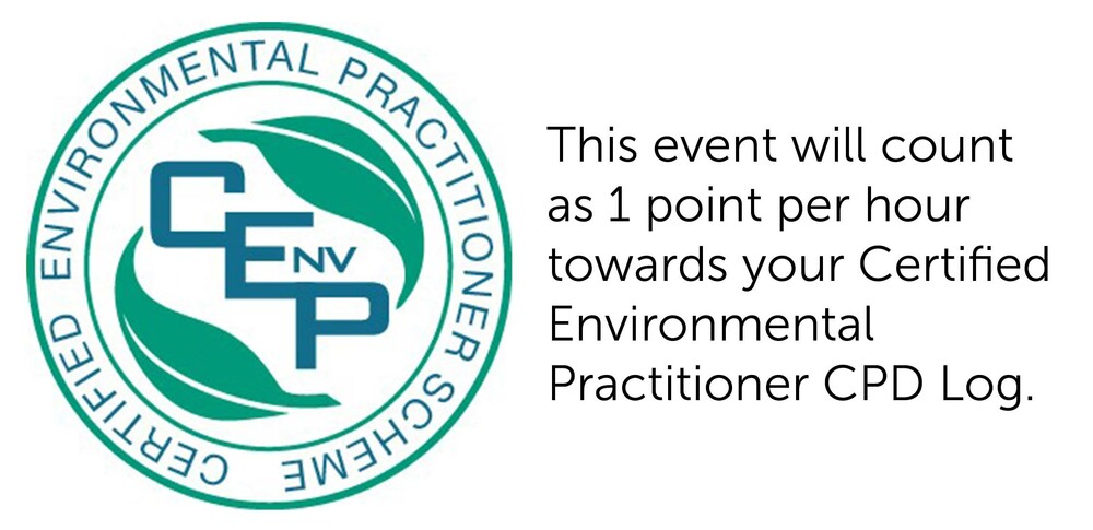
CPD Points
Event details
When: Mon 6 July, Wed 8 July, Mon 13 July & Wed 15 July 2026 (
Where: Online workshop
Cost: $750 for EIANZ Members | $950 for Non-members
Contact: Registration and event enquiries to events@eianz.org or phone us on +61 8593 4140 or +64 9887 6972
Register now and secure your attendance
Event date has passed
We acknowledge and value the rights and interests of Indigenous Peoples in the protection and management of environmental values through their involvement in decisions and processes, and the application of traditional Indigenous knowledge.